Resource modelling & GIS
GIS
Services
Geographic Information Systems (GIS) – Analysing all spatial data allows for patterns and trends to be identified.

Georeferencing
Georeferencing involves adding coordinate information to a digital image to accurately position it on the Earth’s surface. This process allows for the image to be imported as raster data, which can then be viewed, queried, and analysed with other related geographic data.

Digitisation/Vectorisation
Digitisation, or vectorisation, is the process of capturing geographical data from georeferenced images and converting it into vector data (point, line, or polygon format) by tracing the desired features. This enables the utilisation of information in digital format and displayed in the desired symbology, previously only available in hard copy.

Creation of Digital Maps/Plans
Digital mapping refers to the creation of a virtual representation that incorporates all desired data/information to be displayed. Digital maps/plans provide an accurate depiction of an area and visually highlight important features.


Terrain Analysis
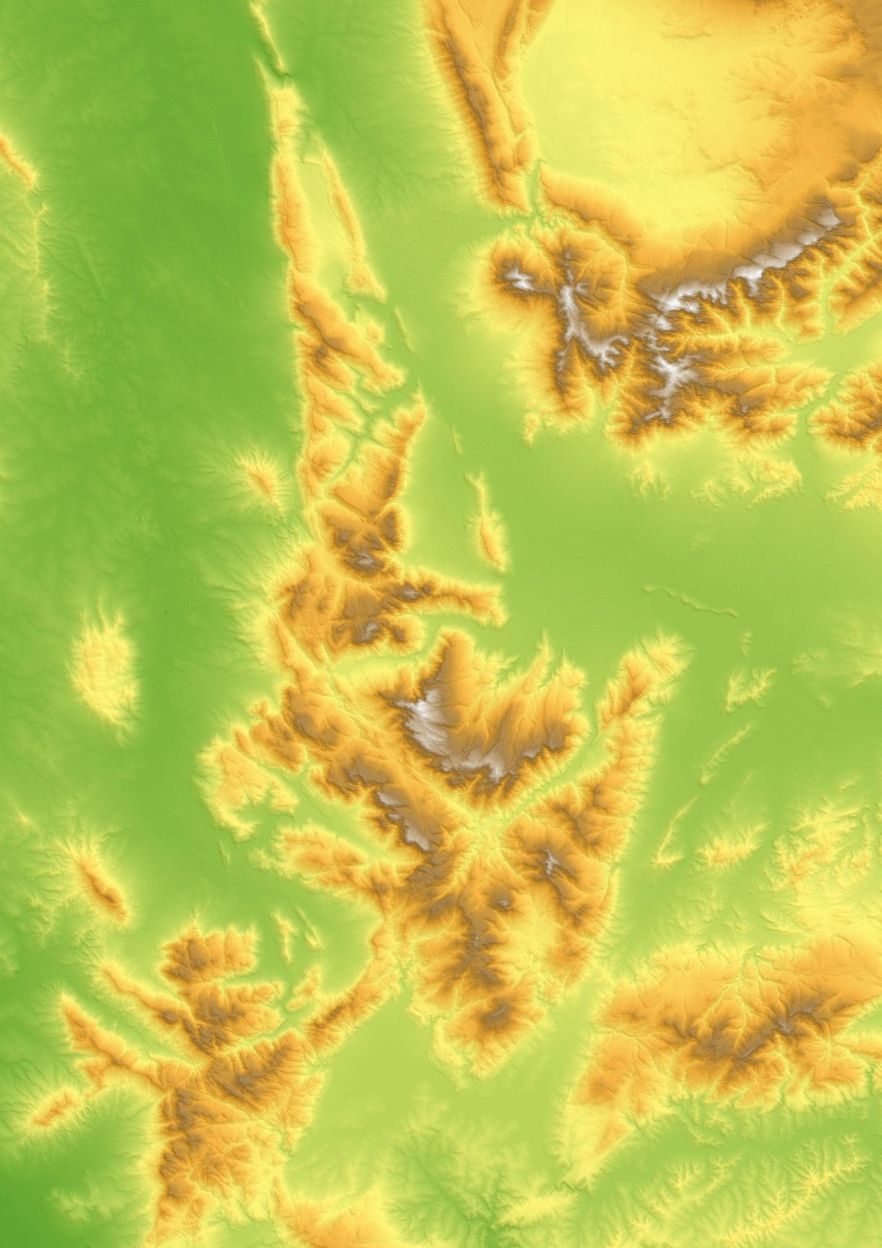
Terrain analysis involves the interpretation and analysis of topographic features such as slope, aspect, elevation, contours, downslope, hillshade, etc., represented in vector or raster format. This type of analysis is used for various purposes, including hydrological mapping, land component mapping, and elevation mapping. Understanding the surrounding terrain helps identify potential target areas and assess their accessibility.

Regional & Structural Trend Mapping
Regional and structural trend mapping focuses on identifying geological trends and the structural framework that impact the local structure. Understanding structures is crucial for interpreting crustal movements that have shaped the present surrounding terrain.

Photogrammetry & Orthomosaic Processing
Photogrammetry is a technology used to create 3D models from a series of photographs, while orthophotography refers to rectified overhead imagery in a uniform scale. Drones are often utilised to capture imagery, which is then processed to obtain higher resolution images for 2D and 3D mapping purposes.


Drone Data DTM/DEM Processing
Drone data DTM/DEM processing involves using drone aerial photography data to generate both digital terrain models (DTMs) and digital elevation models (DEMs). These detailed topographic surfaces are useful for calculating volumes, surface areas, measuring changes, and analysing spatial data.

Remote Sensing
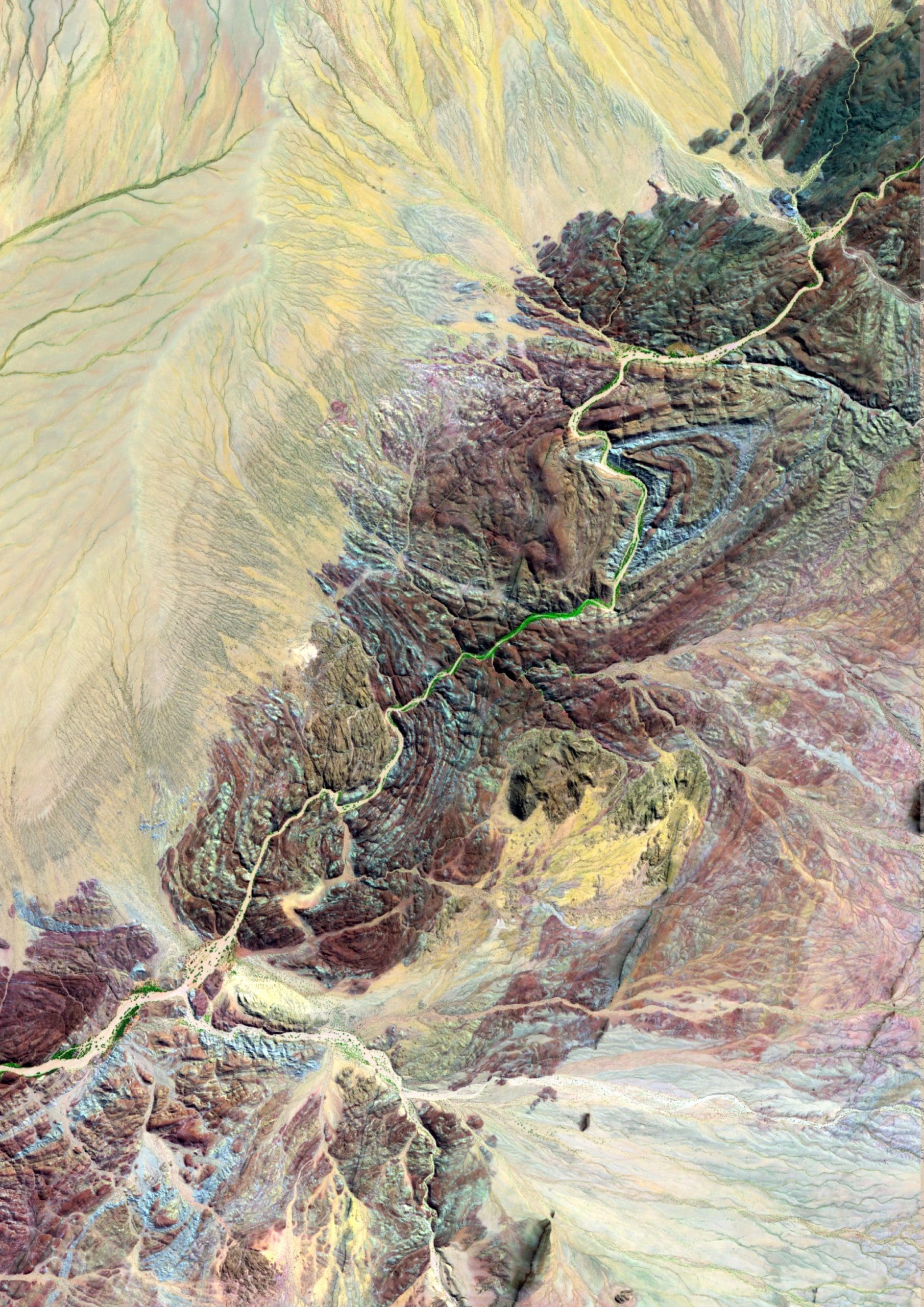
Remote sensing is the process of detecting and monitoring the physical characteristics of an area by measuring its reflected and emitted radiation from a distance, typically using satellite or aircraft imagery. In geology, remote sensing is utilised to identify mineral target areas over large regions, significantly reducing exploration costs.
