















SERVICE: GEOLOGY TRAINING

Hands-On Training in Resource Estimation, 3D Geological Modelling, and Mining Geology

Professionally equip yourself with technical experise

needed for successful mineral exploration, resource evaluation, and mining geology.

Technical capability in the field, core yard, database, and modelling environment directly affects the quality of geological data on which resource estimates and mine plans depend. Minrom’s Training programmes are designed and delivered by practising geologists, with course content grounded in real project experience and practical application across exploration, resource estimation, GIS, and mining geology roles.

Training courses cover geological fieldwork, mapping and map creation, drilling logging and sampling, drilling for geologists, geological database set-up and management, geostatistical mineral evaluation, 3D geological modelling, GIS and remote sensing, Mining 101 for geologists, and project management fundamentals.

Course content can include practical problem-solving, field equipment use, geological data collection, map compilation, drill core and chip logging, sampling procedures, database validation, variography, spatial analysis, model quality assessment, QGIS workflows, mining methods, reconciliation, recoveries, and compliance with mine planning.

Courses are suitable for graduate geologists building field skills, exploration teams standardising data collection, and experienced professionals adding capability in resource estimation, 3D geological modelling, GIS, or mining geology.

Geological Fieldwork

  • Practical problem-solving in the field
  • Skills developed: equipment usage, data collection, measurement of geological features
  • Translating field data into actionable geological information

Mapping and Map Creation

  • x

Drilling Logging & Sampling

  • Drill core, RC rock chips, percussion chips techniques
  • Covers recovery, alteration, lithology, mineralisation, geotechnical (RQD) logging aspects
  • Sampling procedures and extraction methods protocols

Drilling for Geologists

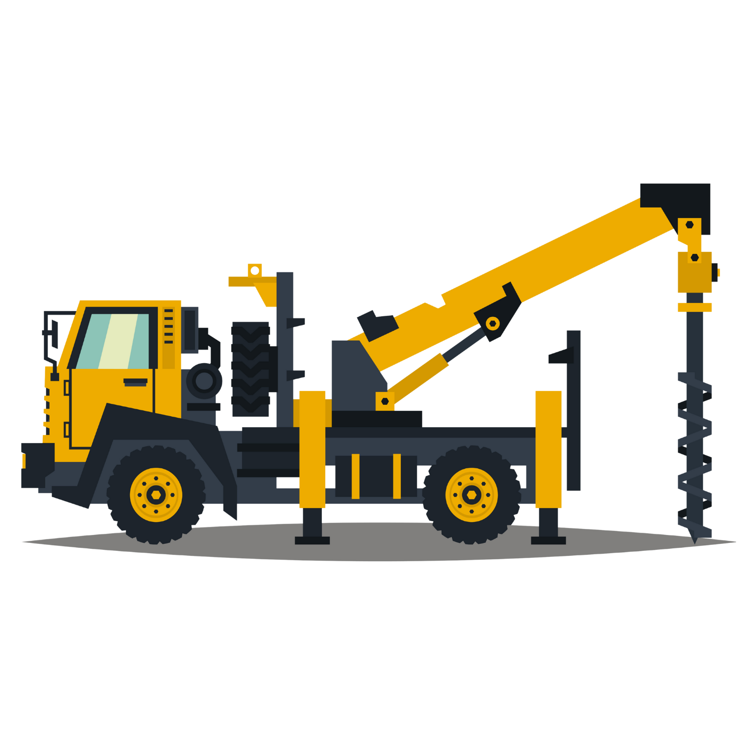
  • Drilling fundamentals: types, methods, techniques, operations
  • Project planning: drill hole planning and comprehensive project management

Geological Databases: Set-up & Management

  • Data processes: collection, evaluation, standardisation, validation
  • Data security: storage and protection of geological and spatial data

Geostatistical Mineral Evaluation

  • Skill development: practical and technical skills in mineral estimation​
  • Geospatial statistics: from basics to detailed analyses, data processing, variography, estimations

3D Geological Modelling

  • Core training: fundamentals of geological modelling
  • Focus areas: techniques, methods, best practices, model quality​​​​

GIS & Remote Sensing

  • Use of real-life field data for the creation of geological maps, sections, grids​
  • Acquisition, manipulation, processing of satellite and spectral imagery
  • Utilisation of open-source software (QGIS)

Mining 101 for Geologists

  • Open cast & underground mining techniques
  • Equipment nomenclature
  • Equipment selection
  • Organogram development
  • Extraction methodologies
  • Reconciliation & recoveries
  • Compliance to mine planning

Project Management 101

  • x

Master the Science of Expert Training

Gain essential knowledge in Mineral Resource Management to add value to your operation

Related MINROM Project Case Studies

Maganese Mine

Developing a Mine Work Program for a Manganese mine in the Northern Cape

Minrom developed a Mining Work Programme for a Northern Cape manganese mine using RC drilling, resource delineation, grade analysis, and dolomitic dilution risk assessment.
READ MORE
MinRom Blog Image

Technical Due Diligence for a Copper-Cobalt Deposit in the DRC

Minrom Consulting conducted a technical due diligence audit for a copper-cobalt mining operation in the Democratic Republic of the Congo to validate mineral resource data ...
READ MORE
Blog Banner April

Haut-Katanga Copper

By integrating historical data with a new 3D geological model, the report evaluates the project's mineral potential could be outlined the strategic roadmap for future ...
READ MORE
Lodestone Case Study Banner

Namibian Iron Ore Deposits

Minrom Consulting was contracted to produce an independent Competent Persons Report (CPR) for a prominent iron ore project in Namibia.
READ MORE

Geology Training Services Frequently Asked Questions

Mineral Resource Management training courses should build practical knowledge in geology, mapping, sampling, drilling and related activities, GIS, resource estimation, grade control, reconciliation, and mine planning. Minrom does geology training, professional development help teams improve field decisions, technical reporting, and operational performance.

Our training now include geology, sampling, data management, GIS, modelling, mine planning, safety systems on drill rigs, communication, and problem-solving. Strong mining competencies combine technical skills mining with digital mining skills, helping teams interpret data, work across disciplines, and make better operational decisions.

Geological training can include field mapping, rock and mineral identification, structural geology, sampling, logging, GIS, modelling, resource estimation, and reporting. Good geology courses combine theory with field geology training and applied geology training so professionals that can use geological data in real project settings.

Mining performance improvement comes from better data collection, clearer geological interpretation, safer field practices, leading to operational performance. Training is strongest when courses address real project tasks, helping teams improve workforce, reduce avoidable errors, and support operational performance mining.

Geological field training teaches practical skills such as field mapping geology, sampling techniques, geological logging skills, structural measurements, field notes, GPS use, data capture, and basic interpretation. These skills help exploration and mining teams collect reliable data that supports modelling, resource estimation, and mine planning.