It is easy to look at a map of the world and see the obvious similarities between the western coast of Africa and the eastern coast of South America, and how well they fit together. The reason for this is that South America and Africa are fragments of the ancient supercontinent Gondwana that was itself once part of a larger landmass known as Pangea (or Pangaea).
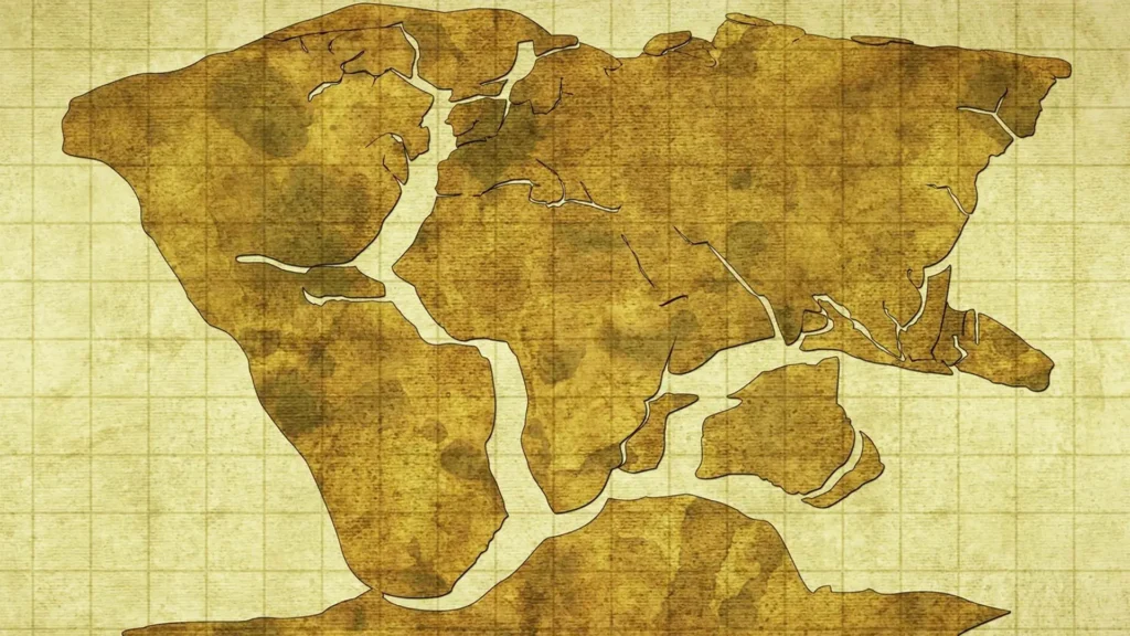
Gondwana was a vast landmass that existed during the Paleozoic and Mesozoic eras, which started to break apart at the end of the Triassic and the beginning of the Jurassic periods around 200 million years ago. Africa and South America were connected, along with other landmasses such as Antarctica, Australia, and the Indian subcontinent. The northern hemisphere continents formed a similar supercontinent known as Laurasia. For a time, these two huge landmasses were joined together to form Pangea and were surrounded by the vast, global Panthalassa Ocean.
About 140 million years ago, Africa and South America started to break apart, as rifts valleys started to form along weak points that already existed such as seen today in eastern Africa. Tectonic shifts caused magma from the mantle of the Earth to move to the surface and generate a new oceanic crust.
Those continents moved away from each another and the Atlantic Ocean was formed at the expense of the Panthalassa Ocean which shrank in size, leaving the Pacific Ocean as a remnant of its previous large size. Proof of this movement has been found using ocean floor samples and geophysical models and includes geological similarities, fossil evidence of similar species found on both continents, evidence from ancient climates such as glacial deposits in regions that are now tropical, and matching coastlines and rock formations when their shapes are considered together.
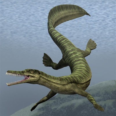
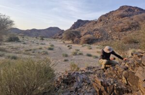
Through the years, international research teams have found ancient rocks and marine reptile fossils that provide clear evidence of the ancient geological split between South America and Africa, and the resulting creation of the southern Atlantic Ocean. Rocks and fossils found by the SMU-led research team on Angola’s southern coast (the fieldwork started in 2005) are between 71 million and 130 million years old and have provided the most complete geological land record of the separation of South America and Africa, and the Atlantic Ocean opening up in the south.
As early as 1596, the cartographer, geographer and cosmographer Abraham Ortelius from the Spanish Netherlands noted that the coastlines of Africa and South America appeared to fit together and suggested that they had once been joined and been pulled apart by ‘earthquakes and floods’. In the early 20th century, a German geologist and meteorologist named Alfred Wegener presented his theory of ‘continental drift’, showing that the continental landmasses ‘drifted’ across the Earth, sometimes ploughing through oceans and into each other, which was met with scepticism.
It is only in the 1960s that topographic maps of the ocean floor and new discoveries about the nature of the rocks forming the oceanic crust provided key clues about the true nature of continental drift. According to the theory of plate tectonics, the Earth’s outer ‘skin’ or lithosphere is divided into large slabs or plates which float on the underlying asthenosphere, relative to each other. The lithosphere tears open at mid-ocean ridges and new oceanic crust is created, while in other places old oceanic crust slides into the deep mantel and is recycled, this process being known as subduction. Continental crust is less dense than oceanic crust, therefore only oceanic crust is recycled at subduction zones. Thus, in effect, the continents are indeed constantly drifting, shifted around like flotsam, and move a few centimeters every year.
We commemorate Dr Alexander du Toit for proving the concept of continental drift.
In the late 1920s, Du Toit published a review of the stratigraphic and radioisotope evidence that supported Wegener’s ideas in A Geological Comparison of South America with South Africa (1927). His best-known publication, Our Wandering Continents (1937), expanded and improved on his 1927 work and, departing somewhat from Wegener, du Toit proposed two original supercontinents separated by the Tethys Ocean, a northern/equatorial Laurasia and a southern/polar Gondwanaland.

References/Sources
How on Earth? Terrence McCarthy (2009)
www.smu.edu/news/research/angola-geology-reveals-ancient-split-between-south-america-and-africa
(SMU : Southern Methodist University, Dallas, Texas)
Wikipedia.com
Picture 1 source: https://publish.illinois.edu/alfredwegener/evidence/


