


Gain Practical Knowledge for Real-World Mining Success
SERVICES
Minrom provides specialised training programmes, from Mining 101 to advanced courses designed to equip professionals with the technical expertise needed for successful mineral exploration, resource evaluation, and mining geology.
GEOLOGY TRAINING SERVICES
What we offer
Geological Fieldwork
- Practical problem-solving in the field
- Skills developed: equipment usage, data collection, measurement of geological features
- Translating field data into actionable geological information
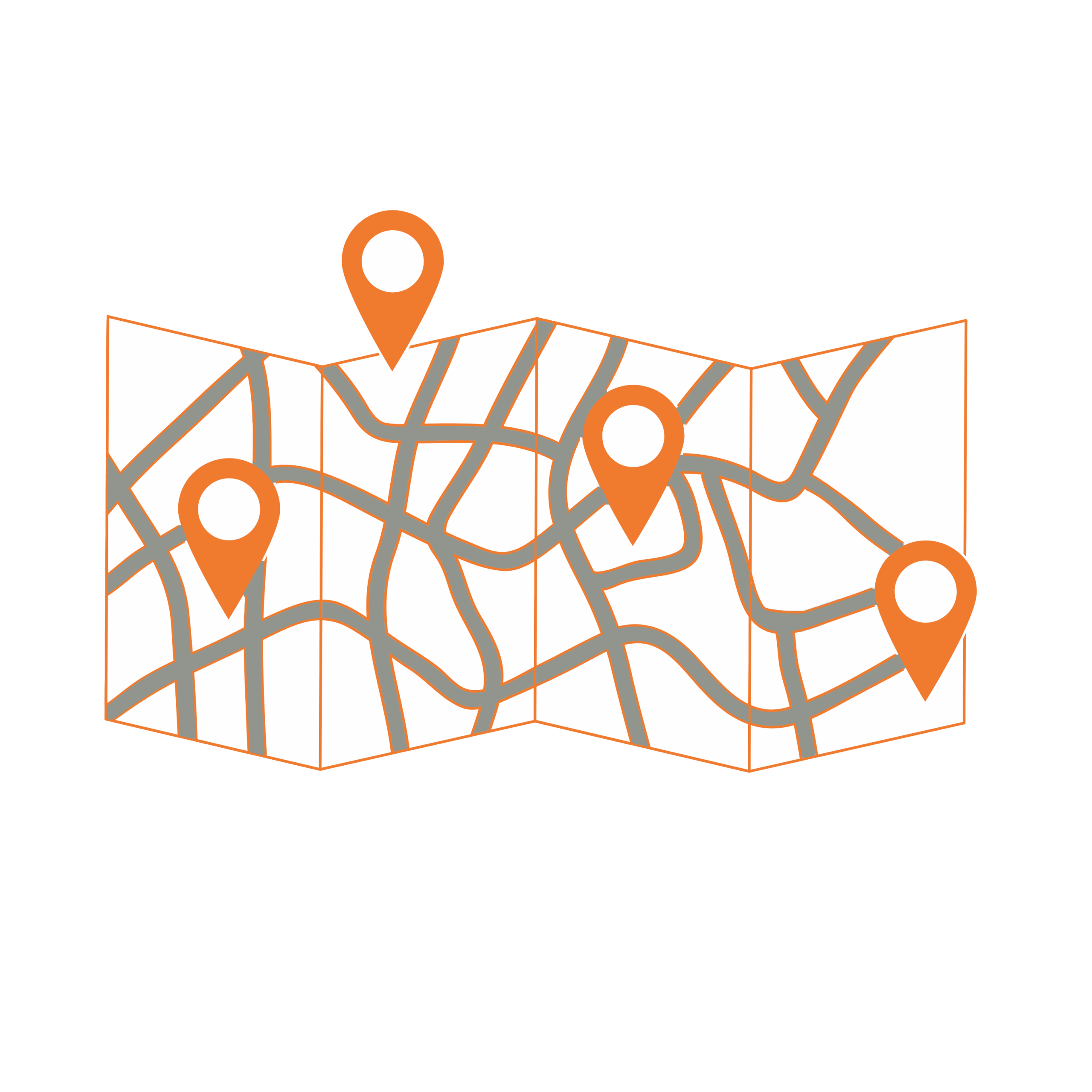
Mapping and Map Creation
- x
Drilling Logging & Sampling
- Drill core, RC rock chips, percussion chips techniques
- Covers recovery, alteration, lithology, mineralisation, geotechnical (RQD) logging aspects
- Sampling procedures and extraction methods protocols
Drilling for Geologists
- Drilling fundamentals: types, methods, techniques, operations
- Project planning: drill hole planning and comprehensive project management
Geological Databases: Set-up & Management
- Data processes: collection, evaluation, standardisation, validation
- Data security: storage and protection of geological and spatial data
Geostatistical Mineral Evaluation
- Skill development: practical and technical skills in mineral estimation
- Geospatial statistics: from basics to detailed analyses, data processing, variography, estimations
3D Geological Modelling
- Core training: fundamentals of geological modelling
- Focus areas: techniques, methods, best practices, model quality
GIS & Remote Sensing
- Use of real-life field data for the creation of geological maps, sections, grids
- Acquisition, manipulation, processing of satellite and spectral imagery
- Utilisation of open-source software (QGIS)
Mining 101 for Geologists
- Open cast & underground mining techniques
- Equipment nomenclature
- Equipment selection
- Organogram development
- Extraction methodologies
- Reconciliation & recoveries
- Compliance to mine planning
Project Management 101
- x